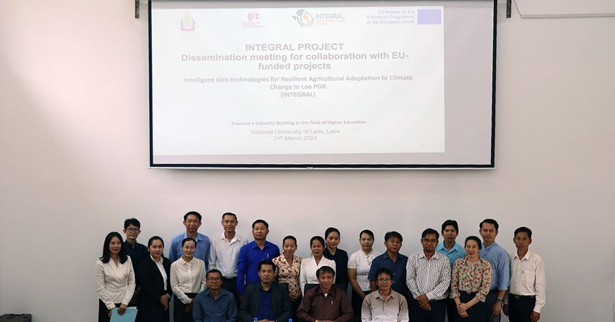
On March 29th, 2024, the INTEGRAL project, dedicated to building capacity in intelligent geotechnologies to enhance agricultural adaptation to climate change in Lao PDR, successfully held a dissemination event at the National University of Laos (NUOL) Faculty of Agriculture.
Attended by 32 participants, including representatives from the Ministry of Agriculture and Forestry, the GIZ Land Program, and private sector companies, the event focused on fostering knowledge exchange and future collaboration.
Key Presentations
- Dr. Vannaphone Phoutthana, Vice Dean of the Faculty of Agriculture, expressed gratitude to the INTEGRAL project, co-funded by the European Union, for supporting the development of the Faculty of Agriculture and its curriculum. He thanked representatives from various departments and private companies for their participation in the event, and highlighted the potential of geotechnology and artificial intelligence in addressing climate challenges and fostering economic development for Lao farmers and agribusinesses.
- Mr. Somsanouk Phonphadith, Head of the Department of Agronomy, emphasized the establishment of a new geotechnology laboratory under the EU-INTEGRAL Project and the accessibility of online courses. He outlined plans to integrate INTEGRAL course subjects into the new Sustainable Land Management curriculum, providing opportunities for future collaboration with governmental and private sectors.
- Dr. Avakat Phasouysaingam provided an overview of the INTEGRAL project and presented progress on developing courses on climate-resilient agriculture, geospatial data modeling, earth observation, and intelligent Spatial Data Infrastructures. He also discussed the setup of a cutting-edge geotechnology laboratory and a server at NUOL to promote online learning. Additionally, he introduced the Sustainable Land Development curriculum, which will integrate INTEGRAL subjects into the Bachelor program.
- The Department of Agriculture Land Management of the Ministry of Agriculture stressed the importance of GIS and Remote Sensing technologies in the national agricultural land management strategy, underscoring the need for human resources in geotechnology.
- The Department of Forestry of the Ministry of Agriculture highlighted GIS and Remote Sensing applications in village forest management and the necessity for skill development, particularly at the district level.
- The GIZ Land Program shared experiences in Unmanned Aerial Vehicle technology for cadastral surveying and mapping.
- Mr. Phomma Thammavong presented the Online Journal for Agricultural Science, Technology, and Development (JASTD), facilitating knowledge dissemination.
Collaborative Discussions
Discussions focused on collaboration between the INTEGRAL project and stakeholders, particularly at the ministry and private sector levels. Participants addressed concrete questions on promoting geotechnologies for resilient agricultural adaptation, emphasizing the significance of these technologies for economic development in Lao PDR.
Key Outcomes and Next Steps
- Valuable feedback was provided on curriculum integration and capacity building, with recommendations to incorporate all INTEGRAL courses into NUOL’s curriculum and offer foundational GIS and Remote Sensing training.
- Emphasis was placed on training faculty members in geotechnologies and promoting online courses for ministry staff and private sector employees.
- Plans for future collaborations and training initiatives were outlined.
The event concluded with a summary of key outcomes and a commitment to leveraging advanced geotechnologies for agricultural resilience and economic development in Lao PDR.